MASTER PLANNED
Land use, movement, housing, enterprise, civic functions and landscape are coordinated as one city system.
Dunottar City · Manyame R.D.C. · Zimbabwe
Dunottar brings the current July 2025 plan into one evidence-aware city story: a new, infrastructure-led urban growth proposition that can be inspected, tested and developed in stages.
Current plan evidence · Strategic project brief · Illustrative future city01 · The national proposition
The project case is complementary: urban renewal remains necessary, while planned new-city development can add capacity, modern infrastructure and new economic functions without requiring every future need to be retrofitted into existing urban fabric.
Dunottar is the project-level response: a current 612.32-hectare plan that can be used to test a new urban-development model in real spatial terms rather than as an abstract smart-city idea.
Land use, movement, housing, enterprise, civic functions and landscape are coordinated as one city system.
Utilities, access, water, waste, transport and digital systems are treated as enabling programmes, not afterthoughts.
Digital infrastructure and city operations are designed into the delivery brief from the outset.
Economic uses, delivery packages and partner roles are defined alongside housing and public infrastructure.
Open space, water resilience, energy efficiency and long-term operations form part of the city brief.
02 · Spatial products
Dunottar is being built as more than a 3D presentation. The same plan can support public engagement, demand capture, investment conversations, delivery coordination, evidence review and future city operations without fragmenting the project into disconnected tools.
Select a mapped stand or record programme-level demand for residential, corner, flats, commercial, industrial or institutional opportunities.
Move from the whole city into family streets, neighbourhood character, schools, parks and daily movement.
Use the city model to locate trade, services, investment destinations and the productive economy around the residential base.
Inspect education, health, institutional land, public space and the relationships that turn land allocation into a functioning city.
Switch from city vision to delivery thinking: systems, access, utilities, phasing, project dependencies and spatial coordination.
Open the same geography through an evidence lens so plan-derived facts, concepts and unresolved professional questions stay distinct.
Demonstrate how assets, service zones, maintenance and operational records could remain attached to the spatial model after handover.
03 · Current plan authority
The project presentation previously used an indicative “up to 500 hectares” figure. The July 2025 amended Dunottar layout is newer and more specific, so the website now uses 612.32 hectares as the current plan area.
The same rule applies throughout the project: where a strategic presentation and the current plan differ on plan-stated quantities, the current plan controls.
04 · One integrated city system
The project is not presented as a housing estate with supporting amenities added afterwards. The current plan is read as a mixed urban system in which residential capacity, economic uses, civic land, schools, movement and open space have to work together.
Housing at multiple densities, connected to daily services and public realm.
PLAN-DERIVED PROGRAMMEA productive city requires enterprise, services, employment and investment alongside homes.
PLAN-DERIVED PROGRAMMENine primary and three secondary school sites are carried in the current plan.
PLAN-DERIVED PROGRAMMEInstitutional land provides capacity for civic and social services; the exact health programme requires confirmation.
PLAN + PROGRAMME TO CONFIRMGreen corridors, recreation, shade and public space are treated as city infrastructure.
PLAN-DERIVED PROGRAMME05 · Diaspora participation
The Diaspora City proposition is designed around a wider contribution model: capital, professional capability, technology, international networks and entrepreneurship can all be structured into defined delivery and operating roles.
The website does not treat diaspora interest as funding already secured. The next step is to build transparent, professionally governed routes through which participation can be evaluated and contracted.
Long-term savings and investment capacity.
Professional, technical and delivery expertise.
Digital systems, knowledge transfer and modern operating models.
International business and institutional relationships.
Business formation, partnerships and productive city uses.
06 · Infrastructure for the city we intend to build
Fibre, energy, water, mobility, digital governance and safety are project requirements to be tested through feasibility and detailed engineering. They are not presented here as installed infrastructure.
Plan the digital backbone with the physical city rather than retrofit it later.
Evaluate distributed and resilient energy solutions as part of detailed engineering.
Connect water security, storage, metering, reuse and long-term operations.
Coordinate roads, public transport, walking and movement hierarchy across the city.
Create accountable records for land, approvals, assets, evidence and city operations.
Define safety systems with governance, privacy and operational responsibility from the outset.
07 · Resilient, green, resource-efficient
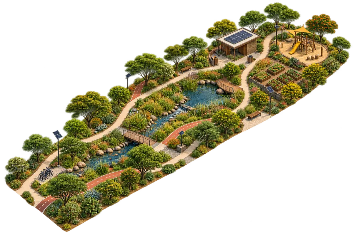
The strategic presentation identifies solar power, water harvesting, wetland protection, green corridors and urban forestry as part of the sustainable urban model. On this website they are treated as environmental design requirements to be tested through feasibility, environmental evidence and detailed engineering — not as systems already delivered.
Evaluate renewable energy and distributed generation as part of the detailed city energy strategy.
Design principlePlan capture, storage, reuse and water-efficiency measures through feasibility and detailed engineering.
Design principleIdentify and protect wetlands and other sensitive natural systems where authoritative environmental studies confirm them.
Environmental requirementConnect open space, movement, shade, habitat and neighbourhoods as a city-scale green network.
Design principleUse long-term shade, biodiversity and streetscape planting as part of the public-realm and resilience strategy.
Design principle08 · Strategic national outcomes
The Ministry presentation sets out seven intended national outcomes. Dunottar now carries all seven explicitly, while keeping them as outcomes to be demonstrated through feasibility and implementation rather than promises already achieved.
Add planned urban capacity as a complement to renewal and infrastructure upgrades in existing cities.
Combine housing, enterprise, infrastructure and civic functions in a productive mixed-use city programme.
Advance the current residential and flat-site programme within a wider human-settlements system.
Create credible routes for diaspora, institutional and international participation subject to governance and due diligence.
Use smart infrastructure, digital governance and new operating models as design and delivery requirements.
Enable future construction, technology, services, manufacturing and city-operating roles through implementation.
Demonstrate a plan-led, evidence-aware approach to contemporary Zimbabwean urban development if the programme is successfully delivered.
09 · Government + delivery pathway
The immediate ask is not to treat the digital city as an approval or an investment offer. It is to use the current plan and evidence base to structure technical engagement, resolve the outstanding statutory and delivery questions, and define a feasible route into detailed masterplanning and implementation.
Align the project team, relevant authorities and technical stakeholders around the current plan, evidence position and decision requirements.
Confirm title/authority, statutory planning position, exact parcel geometry, environmental constraints, demand and infrastructure assumptions.
Advance the current layout into coordinated infrastructure, mobility, utilities, public realm, phasing and costed delivery packages.
Define accountable decision rights, procurement, reporting, partner roles, funding routes and evidence controls.
Deliver in sequenced packages with dated evidence, measurable milestones and a spatial record that remains current.
10 · Spatial demonstrator
The interactive model keeps the strategic story attached to geography. Move from the whole city to districts, streets and plan-anchored properties without pretending illustrative architecture is built reality.

11 · Evidence hierarchy
The Ministry presentation and the current plan are part of the same project, but they perform different jobs. The plan controls spatial quantities. The strategic brief explains why the project matters and what it is intended to become. Feasibility, approvals, engineering, governance and commercial terms still require their own dated evidence.
July 2025 · Scale 1:5000 · Controls plan-stated quantities and spatial relationships used by this website.
Defines the national-development rationale, intended city systems and proposed institutional pathway. Where an indicative figure conflicts with the July 2025 plan, the plan controls.
Title and land authority, approvals, exact parcel geometry, environmental position, infrastructure capacity and servicing, phasing, costs, funding structure, procurement, commercial terms and implementation status.
Review the evidence register ↗
Dunottar City · Zimbabwe
Start with the current plan. Test the city system. Resolve the evidence gaps. Then move into detailed feasibility, engineering, governance and phased delivery.