Fibre connectivity
Plan the digital backbone with the physical city rather than retrofit it later.
Infrastructure + delivery · Government engagement
Dunottar already has a current July 2025 plan. The next challenge is not to repeat the vision—it is to reconcile the statutory and land position, complete feasibility, coordinate infrastructure, establish governance and convert the city into phased, accountable delivery packages.
Current plan · Proposed institutional pathway · Delivery evidence required01 · Delivery starting point
The July 2025 amended Dunottar layout provides a 612.32-hectare spatial programme, but a plan is not the same as a fully reconciled implementation package. Exact parcel topology, statutory status, engineering capacity, environmental requirements, phasing, costs and delivery responsibilities must be resolved through the next technical stages.
02 · Smart infrastructure brief
Fibre, renewable energy, smart water, integrated transport, digital governance and safety systems are part of the strategic city brief. Each requires feasibility, standards, ownership, cost and operating decisions before it becomes a verified delivery claim.
Plan the digital backbone with the physical city rather than retrofit it later.
Evaluate distributed and resilient energy solutions as part of detailed engineering.
Connect water security, storage, metering, reuse and long-term operations.
Coordinate roads, public transport, walking and movement hierarchy across the city.
Create accountable records for land, approvals, assets, evidence and city operations.
Define safety systems with governance, privacy and operational responsibility from the outset.
03 · Proposed institutional engagement
The Ministry presentation asks for strategic recognition, a land pathway, a multi-stakeholder technical committee, feasibility/masterplanning support and policy integration. The website carries all five forward, with one necessary reconciliation: because the current Dunottar plan already identifies the project site and programme, the generic land-allocation request becomes confirmation of the existing land authority, tenure/title and statutory pathway.
Seek formal consideration of Dunottar / Diaspora City as a strategic project so the relevant national and local-government workstreams can be coordinated.
Replace the earlier generic land-allocation ask with authoritative confirmation of the existing Dunottar land position, tenure/title authority, planning status and the statutory route into implementation.
Bring the relevant Ministry, Manyame R.D.C., statutory, planning, engineering, housing, environment, investment and project stakeholders into one technical programme.
Advance coordinated feasibility, detailed masterplanning, infrastructure engineering, environmental work, phasing and costed delivery packages.
Test how the project should interface with national urban-development, human-settlements and investment policy rather than claiming policy status in advance.

04 · Spatial delivery model
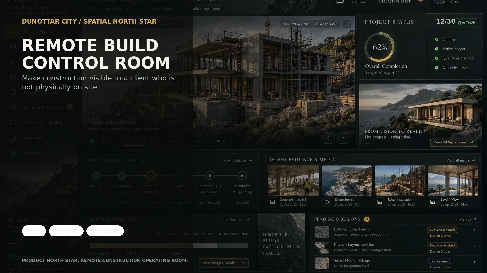
The same city model used for public engagement and reservation interest can become a coordination surface for design packages, infrastructure interfaces, phasing, decisions, evidence and later operations. The value is continuity: city → district → street → property → system, without losing the source plan underneath.
05 · Decision discipline
The government-facing product has to be useful precisely because it does not flatten those stages together. A proposed smart-city system, a plan-labelled infrastructure reserve and a physically installed asset are different states and should remain visibly different in the spatial record.