Residential capacity
9,580 residential stands form the largest programme in the current layout.
Human settlements · Housing + daily life
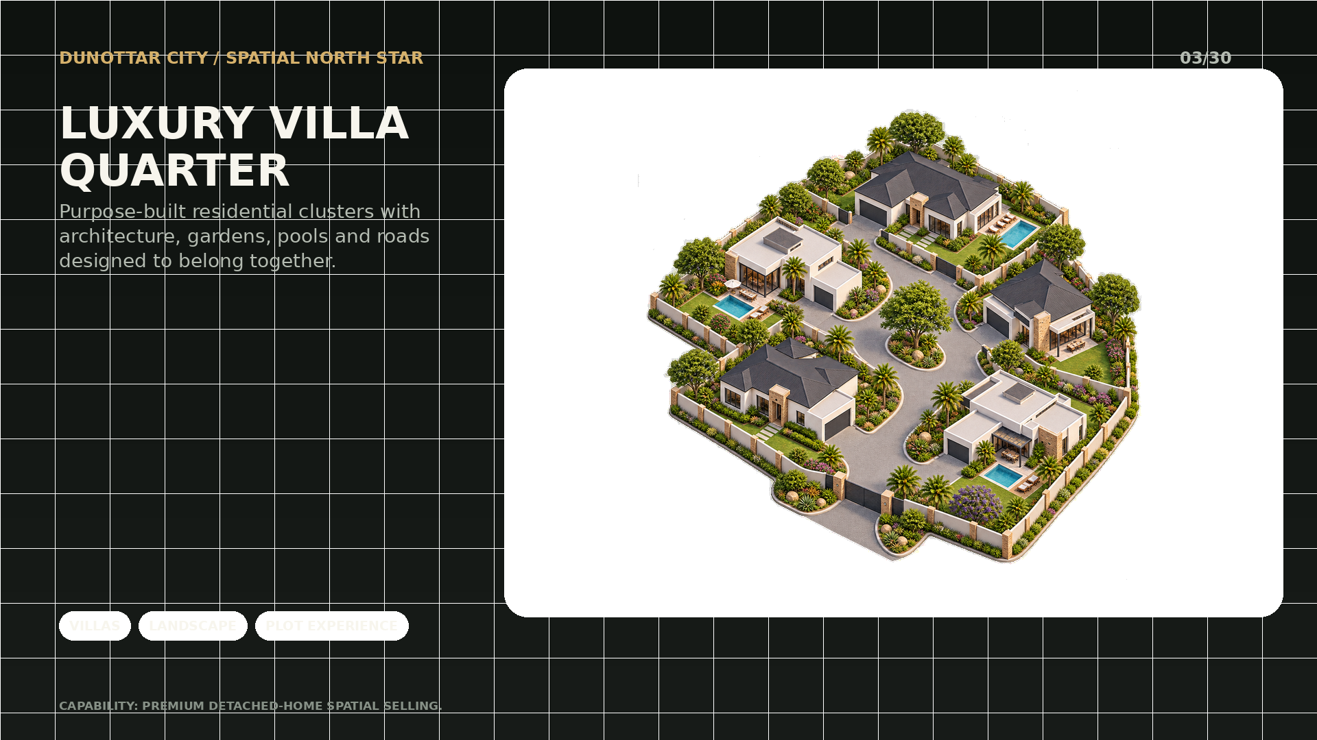
Dunottar’s current plan provides 9,580 residential stands and 58 flat sites within a wider system of schools, roads, open space, civic land and local commerce. The housing proposition is therefore judged by the city around the home, not only by the stand.
Current plan programme · Illustrative future form01 · The housing programme
The current layout combines residential capacity with learning, local trade, movement and landscape. Those relationships are the basis for detailed human-settlements planning, infrastructure design and phased delivery.
02 · Integrated settlement capacity
Local government, infrastructure partners and housing delivery teams need to see the whole settlement logic together. These are the current plan components that shape that conversation.
9,580 residential stands form the largest programme in the current layout.
58 flat sites create a second residential layer beyond individual stands.
12 school sites — nine primary and three secondary — are carried in the current plan.
43.63 hectares of active and passive open space are recorded in the plan ledger.
134.33 hectares, or 21.91%, are allocated to roads and street space.
82 commercial sites sit within the wider city programme so housing is not planned in isolation from services and work.
03 · Public realm + resilience
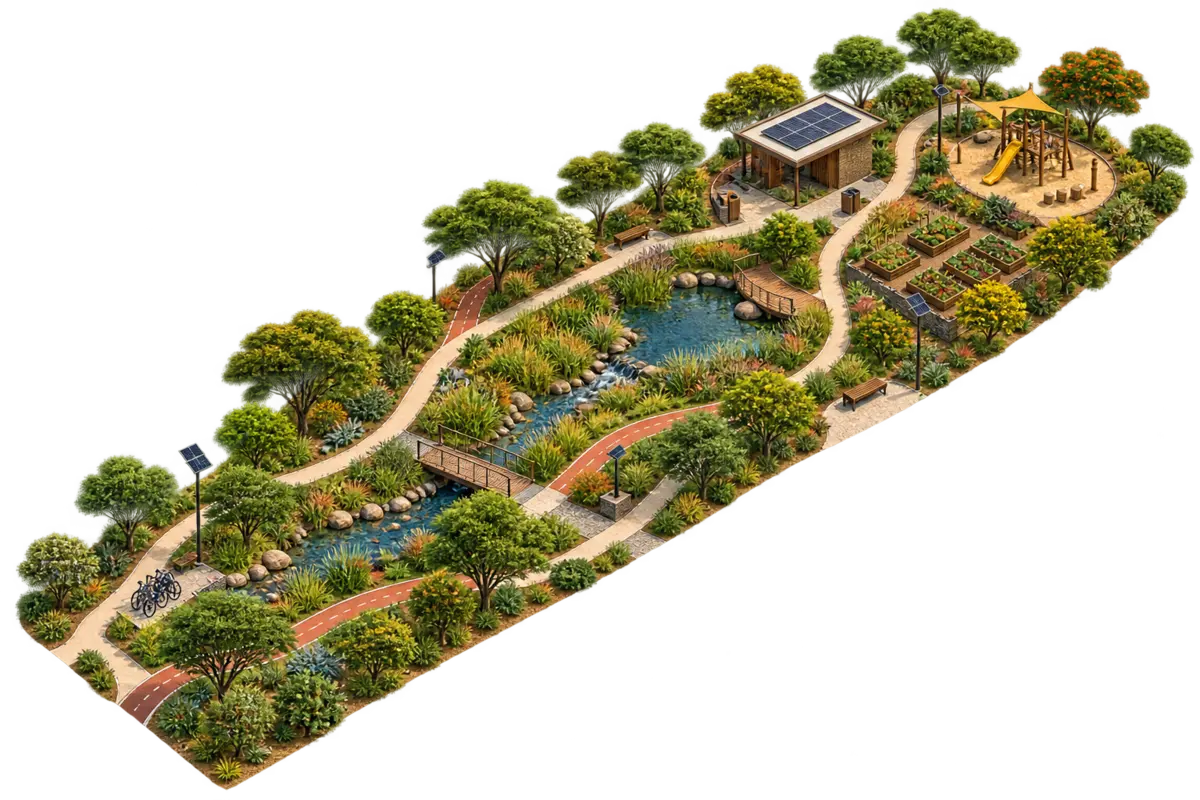
Roads, drainage, shade, walking routes, open space, water resilience and local services determine whether planned housing becomes a functioning settlement. The digital city is used to test those relationships before detailed engineering and delivery decisions are made.
04 · Demand intelligence
The map can capture expressions of interest against specific plan-anchored stands or broader preferences such as a corner residential stand, flats/apartments or a suitable housing option. This creates spatial demand intelligence without claiming that a stand is legally available or allocated.